As it enters its tenth year of existence, Google Maps is expanding its reach to some of the most remote places on the planet.
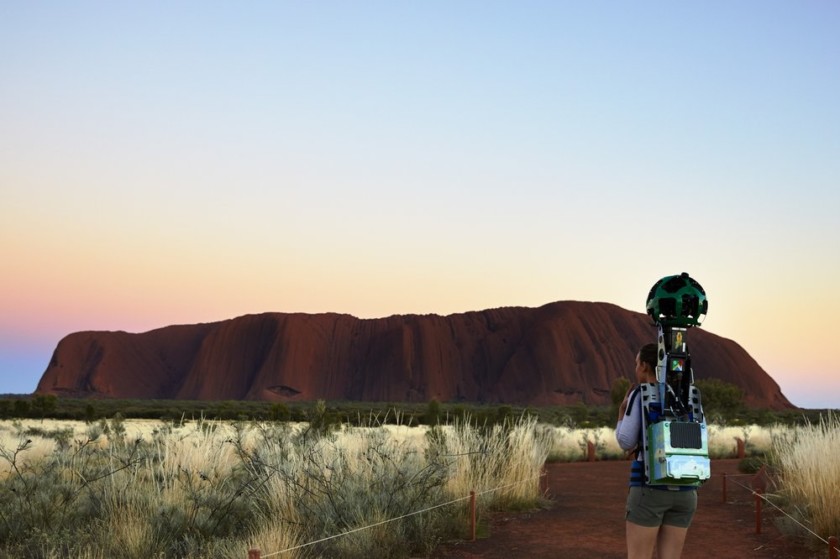
To map places like Ayers Rock in Australia, Google has resorted to hiring amateur cartographers strapped with heavy camera equipment. Elsewhere, Google has relied on animals to film remote locations. An elephant helped to map in Thailand, and a camel wore a camera pack in the United Arab Emirates. Animals, however, are not always helpful for mapping the world. According to the Wall Street Journal, monkeys destroyed camera equipment while Google was mapping remote parts of Cambodia.
Maps are becoming more important to companies like Google because they can provide new sources for revenue. Last year, Google added “promoted pins,” which advertise business locations. Google Maps’ primary competitor, Apple Maps, is also expanding its offerings by adding floor plans for airports and malls in major cities. The company also said it will start introducing speed limit and lane navigation notifications for its Maps app.
Check out this video that shows how Google is mapping Uluru-Kata Tjuta National Park, where Ayers Rock is located.
Title image via Google.